Destinations · Central America · Travelling the region this winter
Costa Rica and Panama
Two small countries that share a border, a dry season and a Pacific coast. Volcanoes and cloud forest in the north, wild beaches in the south, then coffee highlands and quiet islands across the line in Panama.
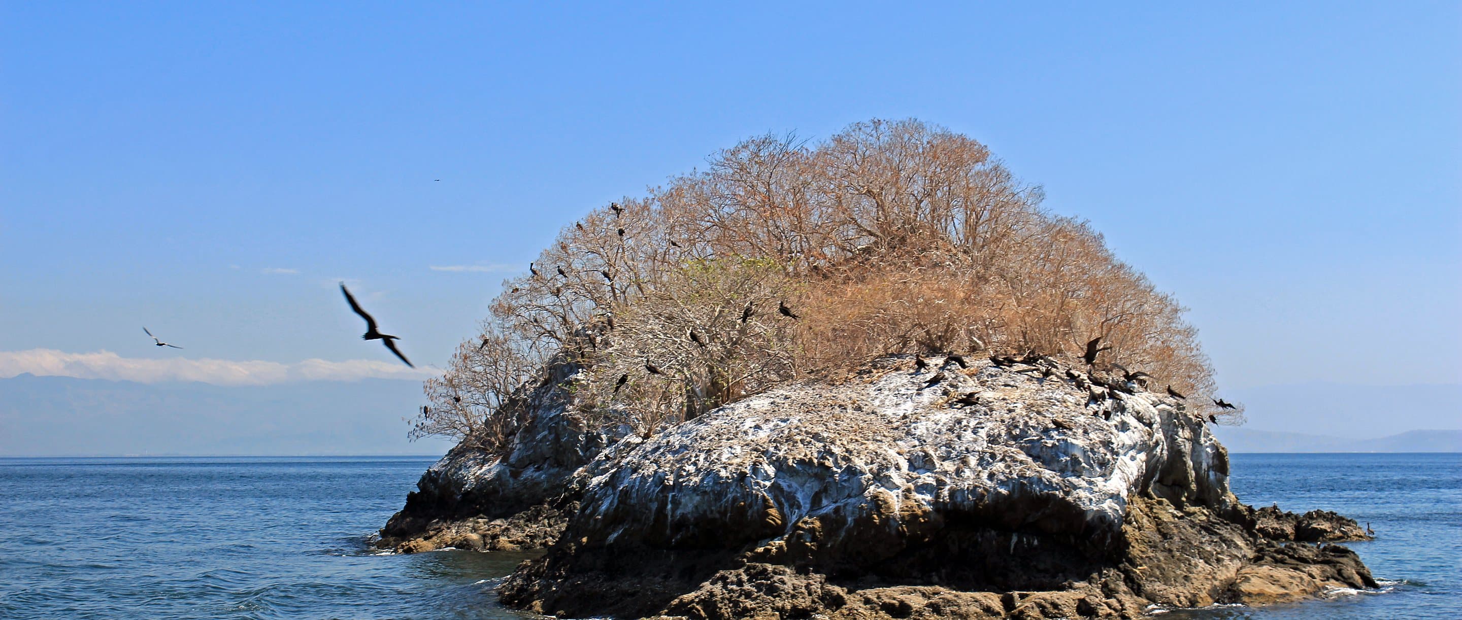
An islet in the Gulf of Nicoya, Costa Rica
The short version
One trip, not two
Most travellers pick one of these countries and fly home. We plan them together, because the best of each sits close to the border they share. The southern Pacific of Costa Rica and the Chiriqui highlands of Panama are a few hours apart by road, and the dry season runs on the same calendar on both sides.
We are travelling the region in person this winter, in December 2026 and January 2027, and this guide will grow when we are back. For now it is how we would plan it: private drivers rather than shuttles, two or three nights in each place rather than one, and the land border crossed with people who do it every week.
- Regions we plan
- Seven
- Good trip length
- 12 to 16 nights
- From Canada
- Into Liberia, home from Panama City
- Time difference
- Same as Mountain Time in winter
Guanacaste and the Papagayo coast
Dry forest, sheltered coves and the easiest arrival in the country. The Gulf of Papagayo is where a Costa Rica trip slows down first.
Guanacaste is the dry corner of Costa Rica, with brown hills in the dry season, deep bays and a sea that is often flat in the mornings. The Papagayo peninsula holds the larger resorts; the coast to the south is quieter, with small hotels and long beaches.
Liberia airport is close by, which makes this the natural first or last stop. We use it for two or three nights of doing very little: a morning on the water, a dry-forest walk, and long afternoons.
- Best months
- December to April
- Getting there
- Fly to Liberia
- Suits
- Arrival and slow days
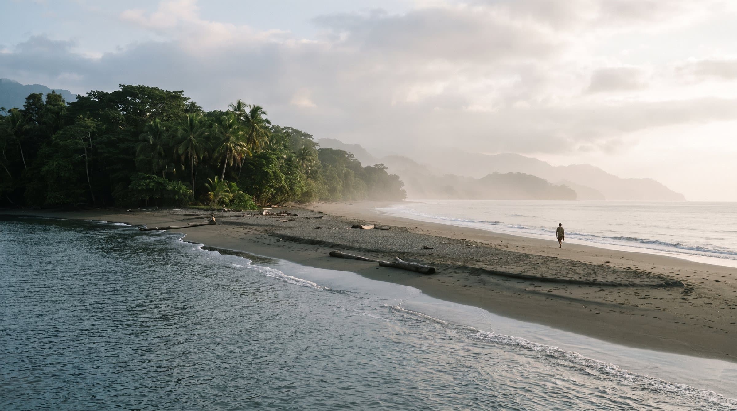
The Osa and the coast around Uvita and Ojochal
Rainforest that runs straight down to the beach, humpback whales offshore in season, and far fewer people than the north.
The southern Pacific is greener and wilder than Guanacaste. Around Uvita, Marino Ballena National Park protects a sand spit shaped like a whale tail, and the hills behind Ojochal hide a handful of small lodges with long views over the water. Further south, the Osa Peninsula and Corcovado are as close to untouched rainforest as Central America gets.
It is also the right side of the country for the border. From Uvita, Paso Canoas is a couple of hours by road, which is why this region sits in the middle of most of our routes.
- Best months
- December to April
- Getting there
- Short flight or private drive
- Suits
- Wildlife, whales, quiet beaches
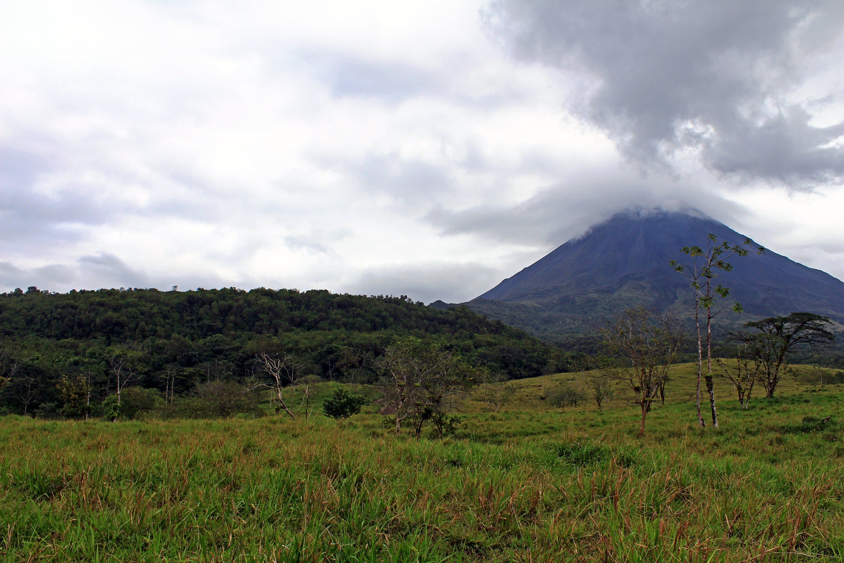
Volcano and cloud forest country
The interior of the north: Arenal, the cloud forest at Monteverde, and the quieter volcanoes toward the Nicaraguan border.
Inland from Guanacaste the land rises into volcanoes and forest, and the air cools. Arenal is the best known, a near-perfect cone above its lake. Monteverde is the cloud forest people picture, with hanging bridges and early bird walks. North of both, around Rincon de la Vieja and Tenorio, the lodges are fewer and the trails emptier.
This is the part of the country that rewards a guide. A good naturalist turns a walk into a list of sloths, toucans and frogs you would have walked straight past.
- Best months
- January to April
- Getting there
- Private drive from Liberia
- Suits
- Walkers and birders
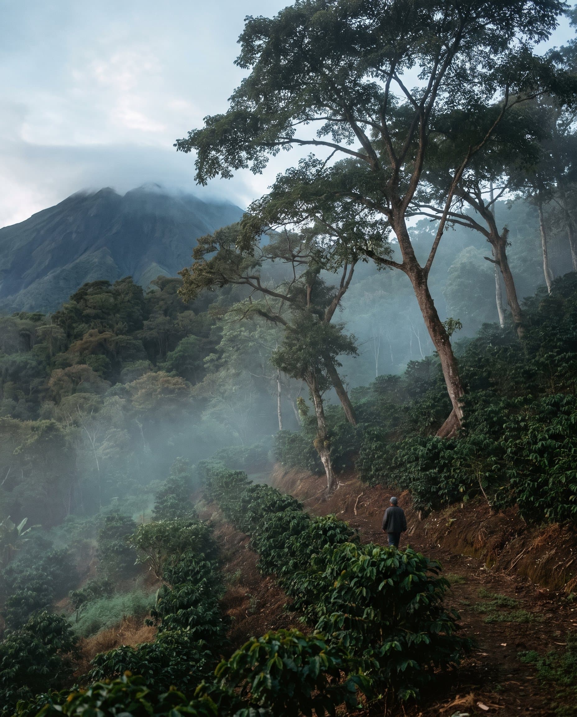
Boquete and the coffee highlands
A mountain town in Chiriqui at about 1,200 metres, cool in the evenings, surrounded by the farms that grow some of the most sought-after coffee there is.
Boquete sits below Volcan Baru, the highest point in Panama, in a valley of shade-grown coffee, cloud forest and fast rivers. Mornings here are for a farm visit and a cupping, or a walk on the Quetzal Trail if the weather is kind. Afternoons often bring a fine mist the locals call bajareque.
After a week of coast it is a welcome change of air, and it is the first stop on the Panama side after the border: David, the nearest city, is under an hour away.
- Best months
- January to April
- Getting there
- Under an hour from David
- Suits
- Coffee, walking, cool nights
The Gulf of Chiriqui islands
A scatter of forested islands off the Pacific coast of western Panama, with a few small, carefully built places to stay and very little else.
The Gulf of Chiriqui is the quiet end of Panama. The islands are reached by boat from the mainland or by a short flight, and the days are snorkelling, kayaking, fishing and walking empty beaches. Coiba National Park, further out, is the reason serious divers come.
It is the island stop we would put at the end of a trip, after the border and the highlands, when the only thing left to plan is when to swim.
- Best months
- December to April
- Getting there
- Boat or light aircraft
- Suits
- Islands, snorkelling, rest
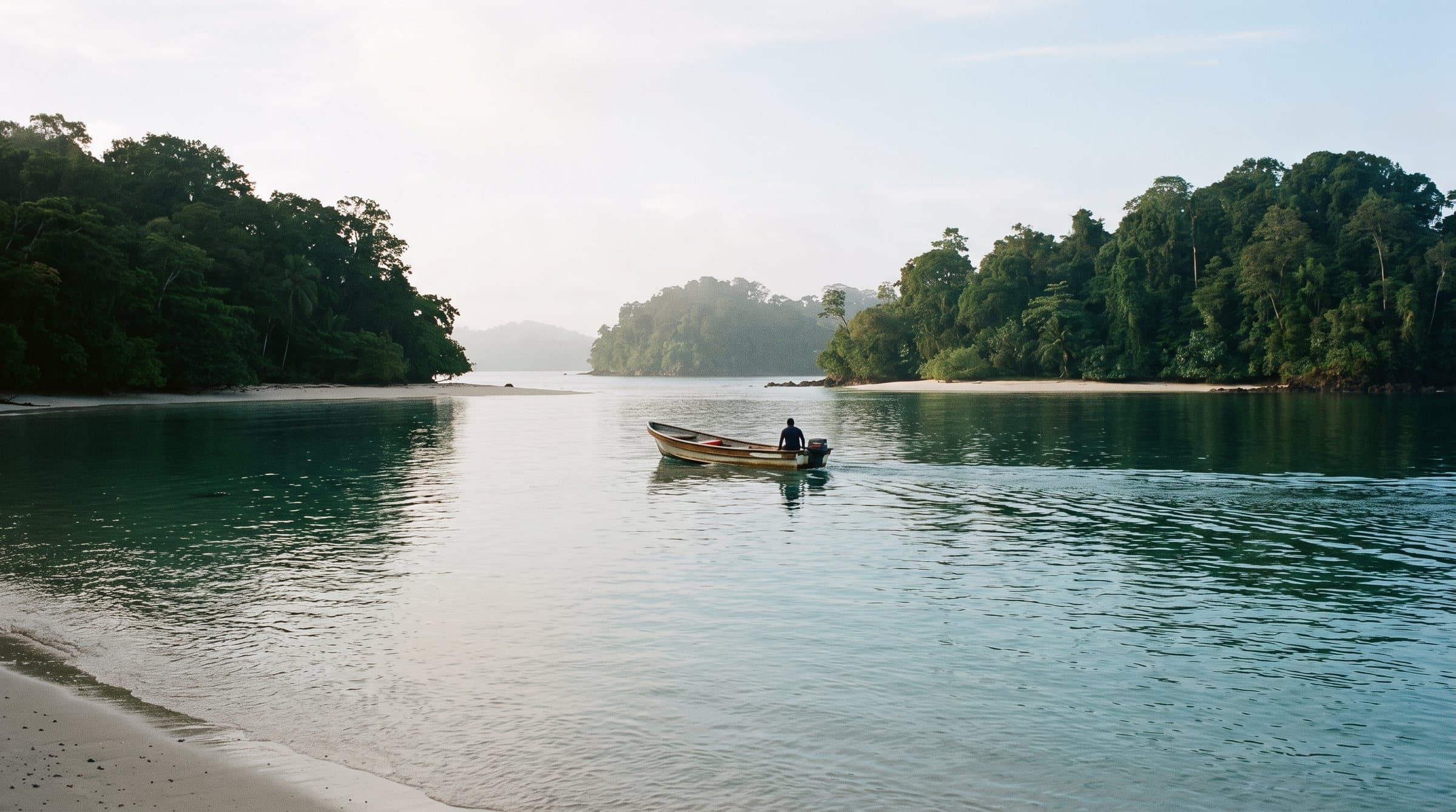
Guna Yala and the San Blas islands, by private sailboat
Hundreds of small islands off the Caribbean coast, governed by the Guna people, and best seen from a boat of your own.
Guna Yala is a self-governing indigenous territory, and the Guna set the rules: visitors pay a territory fee, stay where the communities allow, and ask before photographing anyone. Most travellers come on a day trip from Panama City. We prefer two or three nights aboard a crewed sailing catamaran, moving between cays with the anchor down for lunch.
Comfort is simple by design. The boats are small, the islands have little power and no roads, and that is the whole appeal.
- Best months
- December to April, windier
- Getting there
- Road or short flight from Panama City
- Suits
- Sailors and swimmers
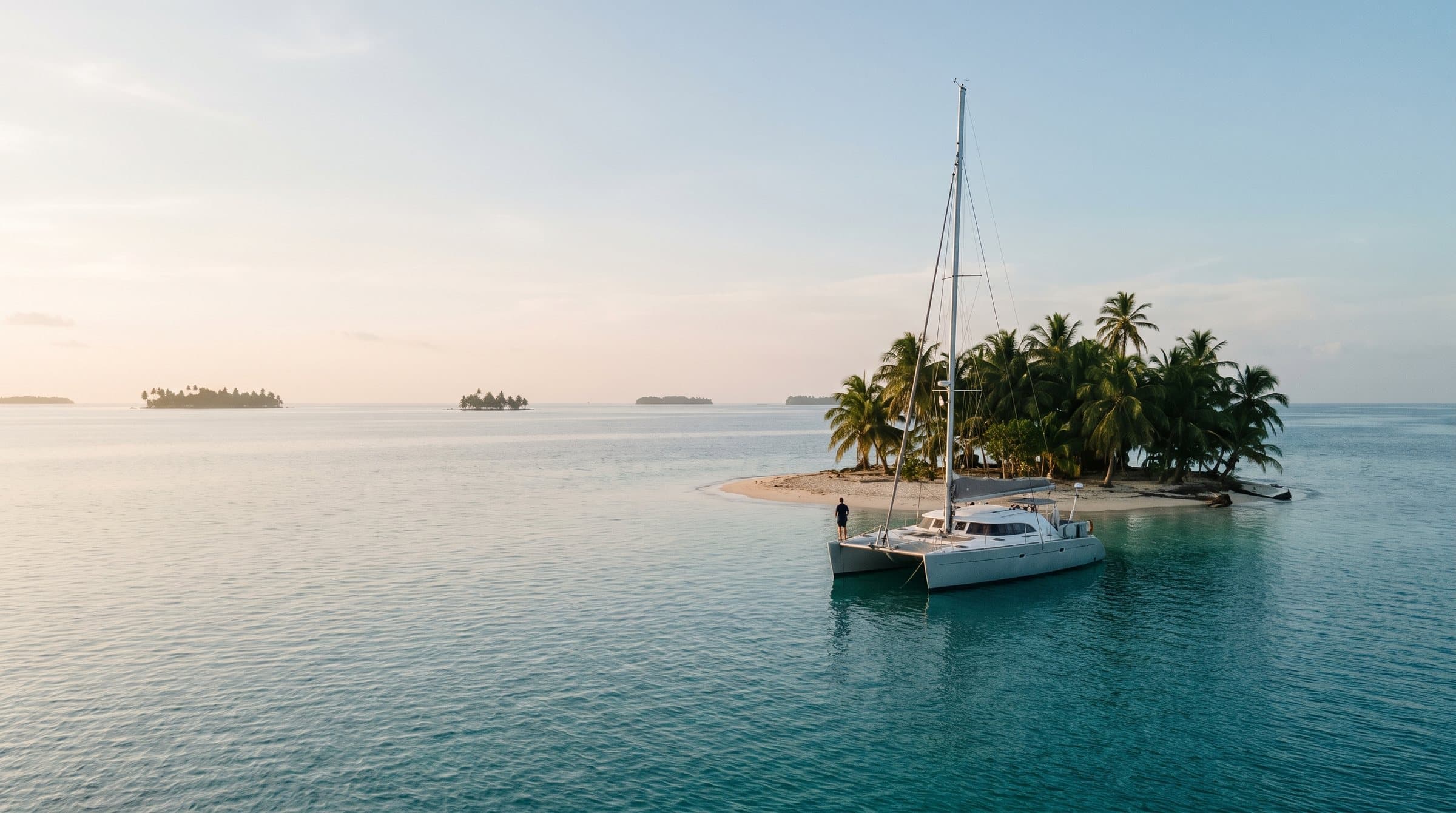
Panama City and the Casco Viejo
The canal, the old quarter and the international airport, all within easy reach of each other.
The Casco Viejo is the old city on its peninsula, restored street by street into small hotels, rooftop bars and plazas, with the towers of the modern city across the bay. Two nights here is right: one day for the canal and the Miraflores locks, one for the old quarter on foot.
Tocumen is the main airport for the region and has the most connections home to Canada, so Panama City is usually where the trip ends.
- Best months
- December to April
- Getting there
- Short flight from David
- Suits
- The last nights of a trip
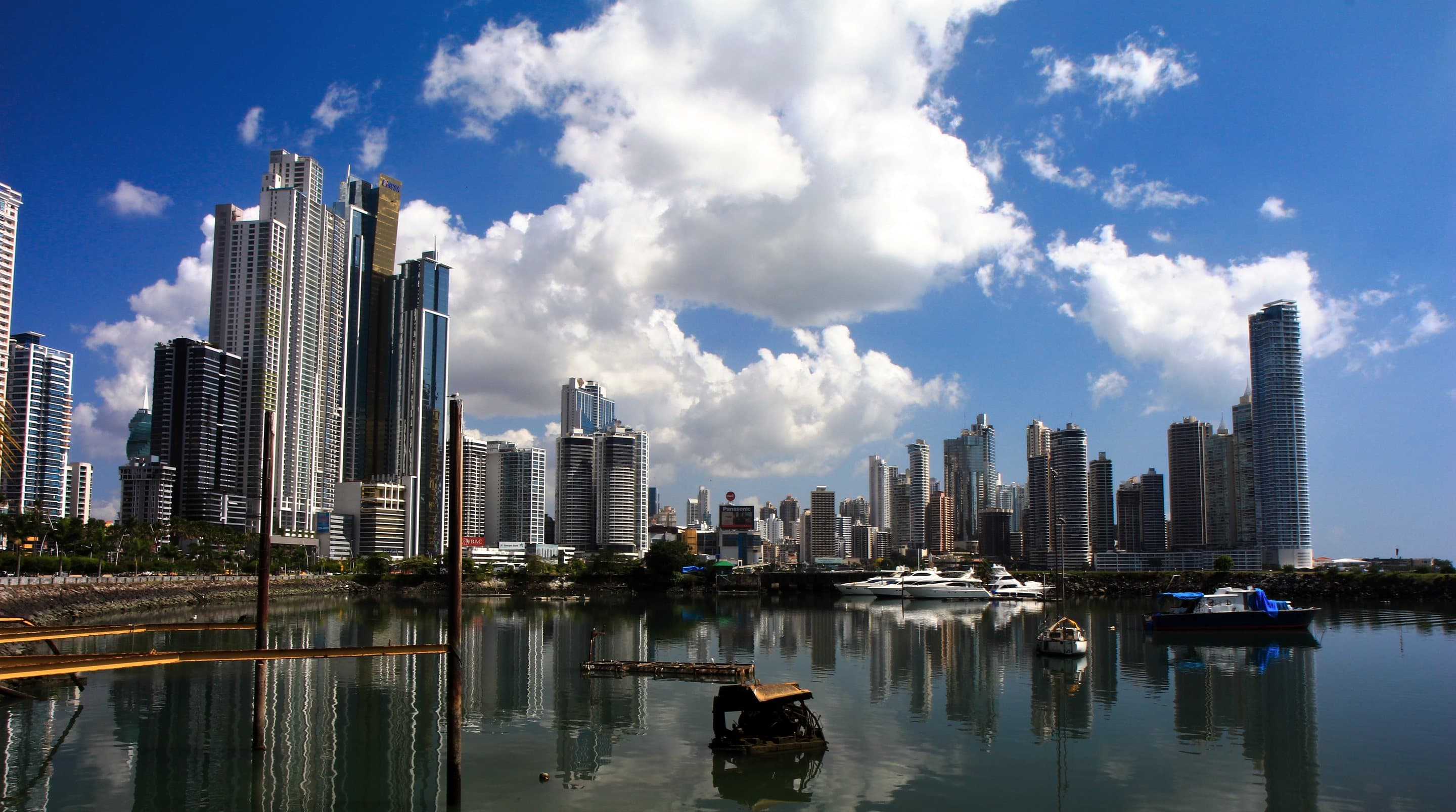
Crossing the border
Paso Canoas, done properly
The main land border between the two countries is a busy town on the Pan-American Highway. It is straightforward with the right papers and a driver waiting on each side. This is how we arrange it.
- Before
The papers
A passport valid for six months, proof of onward travel home, proof of funds and a printed hotel booking for Panama. We prepare the set with you.
- Costa Rica
Exit
Your Costa Rican driver takes you to the exit office, sees the exit tax paid and waits until you are stamped out.
- On foot
The line
A short walk with your bags across to the Panama side, where your second driver meets you by name.
- Panama
Entry
An entry stamp and a bag check, then on the road to David or Boquete.
Entry requirements change. We confirm the current rules for Canadians when you book and again before you travel. Allow a morning for the crossing.
When to go
Dry season on both sides of the border
The Pacific side of both countries is dry from December to April, which is when we plan this trip. The green season from May to November brings afternoon rain, fewer people and lower rates; September and October are the wettest. The Caribbean coast keeps its own pattern.
A rough guide, not a forecast. Christmas, New Year and Easter are the busiest weeks on both sides. We check conditions with the lodges and the boat before you commit.
Both countries on the month-by-month planner →Where we would stay
On our list this winter
We are travelling the region in December and January. These are places we plan to see for ourselves; none of them is a stay we have made yet, and we will write them up honestly once we have. Rates and any benefits are confirmed for your dates on the call.
Rancho Pacifico, near Uvita
A small hillside lodge above the southern Pacific, in the rainforest between Uvita and Ojochal.
Origins Lodge, northern Costa Rica
A remote lodge in the volcano and cloud forest country of the north, built for slow days and walks.
Islas Secas, Gulf of Chiriqui
A private island with a handful of casitas, for the quiet end of a trip and the water around Coiba.
Isla Palenque, Gulf of Chiriqui
An island set in forest and beaches, another way to finish a Panama trip on the Pacific.
A sample route
Costa Rica to Panama in 13 nights, private all the way
Built for January to March. Fly into Liberia, travel south with private drivers, cross at Paso Canoas and finish on an island in the Gulf of Chiriqui. A starting point, not a set tour. We change the order, the nights and the places to suit you.
- 3nights
Volcano and cloud forest country
Arrive at Liberia and drive inland. Guided walks at first light, hot springs, and a slow start to the trip.
- 3nights
The Papagayo coast
Back down to the Pacific for a morning on the water and two afternoons of doing nothing much.
- 3nights
Uvita and Ojochal
A short flight or a long private drive south. Marino Ballena, the rainforest, and whales in season.
- 1night
Across the border to Boquete
Paso Canoas with a driver on each side, then up into the coffee highlands. A farm visit the next morning.
- 3nights
An island in the Gulf of Chiriqui
By boat or light aircraft to the islands, with snorkelling and kayaking on your own schedule.
- D14departure
Home through Panama City
A short flight to the capital for your connection home. Many people add two nights for the canal and the Casco Viejo.
Swap: three nights sailing Guna Yala in place of the Chiriqui island, or add them after Panama City.
Questions
What people ask about Costa Rica and Panama
Anything else, write to info@thetravellingtunia.com.
Is crossing the border by land difficult?
Not with the right papers and a plan. Paso Canoas is the main Pacific crossing and it is busy, but it is routine. You leave your Costa Rican driver at the exit office, walk a short way across, and meet your Panamanian driver on the other side.
Panama asks for proof of onward travel home, proof of funds and usually a hotel booking. We prepare all of it with you, printed, and confirm the current requirements before you leave. Allow a morning.
Dry season or green season?
For a first trip, the dry season from December to April. The Pacific side is sunny, the roads are easier and the boats run on time. It is also the busy season, so the best rooms go early.
The green season from May to November has rain most afternoons, greener landscapes and fewer people, and it can be a very good trip, especially in July and August. We would avoid September and October on the Pacific side, when the rain is heaviest.
Can we see the Panama Canal as part of this trip?
Yes. The simplest way is the visitor centre at the Miraflores locks, a short drive from Panama City, where you watch the ships rise and fall. A partial transit by boat through some of the locks runs on a published schedule rather than every day, so if you want one we fix that date first and build the end of the trip around it.
Do we need to drive ourselves?
No, and we do not suggest it. Roads in both countries are slow, signage is thin and some lodge access needs a 4x4. We use private drivers for every transfer, with short domestic flights where they save half a day. A driver who knows the road is worth more than a rental car.
Have you stayed at the places on this page?
Not yet. We are travelling the region in December 2026 and January 2027, and the properties named here are on our list to see. Once we have been, we will say plainly where we stayed and what we thought, here and in the journal.
Keep reading
The seasons, and two more winter trips
Costa Rica and Panama, month by month
Where both countries sit in the year, alongside the other places we plan.
Journey · 8 nightsLos Cabos and the grey whales
A luxury resort on the Los Cabos corridor, then private boats in Magdalena Bay. From CA$9,500, indicative, per person, confirmed at quote.
Journey · MexicoThe Yucatan, the long way around
Cenotes, ruins at opening time and Sian Ka'an, best from December to March.
Plan a trip
Tell us how many nights you have, and whether you want an island at the end
A short first note is enough. We reply within one business day, and nothing is booked until you have a written quote in front of you.